| MapMap | ||
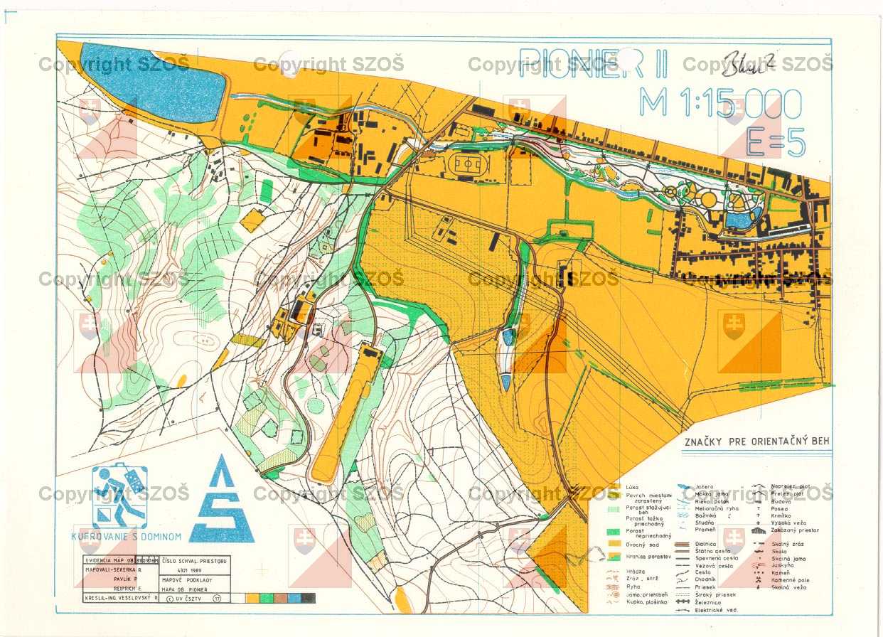
Pionier II.
|
|
155
|
||||||||||||||||||||||||||||||||
|
|
||||||||||||||||||||||||||||||||
Pionier II.
155
|
||||||||||||||||||||||||||||||||


|
Maps for orienteering |

|
Maps for MTB orienteering |

|
Maps for ski orienteering |

|
Big scaled maps (school, park, ...) |

|
Mapped |

|
Drawn |

|
Mapped & Drawn |