MapMap

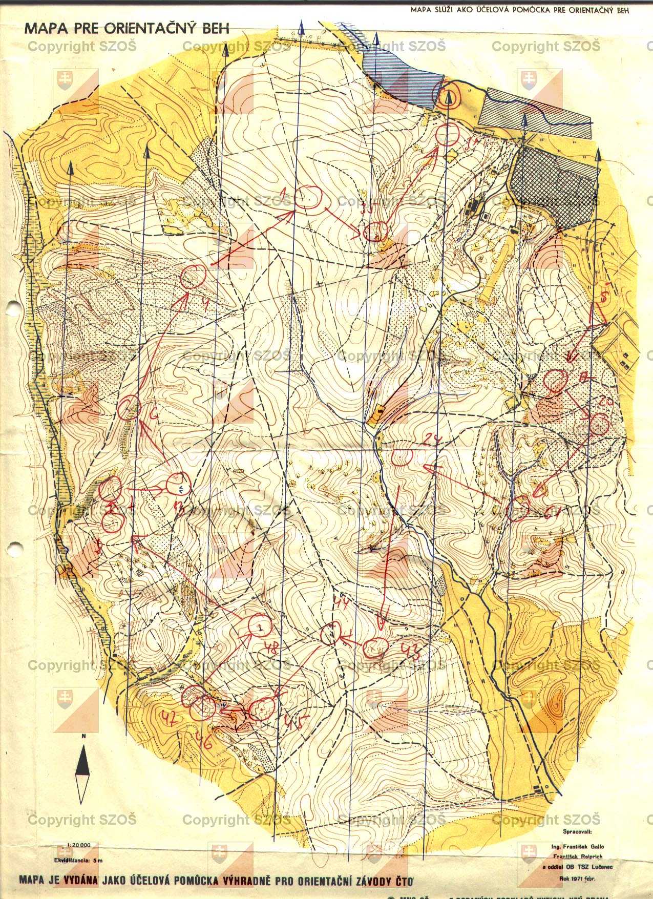
Mapa pre orientačný beh

Scale Type of map Contour interval
1 : 20000 O - Map for orienteering 5 m

Year Area Registration number District
1971 19.1472 km2 - Lučenec

Owner
Lučenec, (Lučenec)

Mapped by
Gallo František, Reiprich František

Drawn by
Gallo František, Reiprich František


The closest maps within 10 km
28.8.1966 Mistrovství a přebor ČSSR v OZ 1966, Labyrint, Labyrint II., Lučenecké kúpele - Losonc fürdő, Lučenecké kúpele - Losonc fürdő, Mapa pre orientačné preteky:, Mapa pre orientačné preteky: Pohár Lučenca, Mistrovství a přebor ČSSR v OZ 1966, Pionier, Pionier II., Zátišie, Zátišie

Detail map
Map

Slovak Republic
164
Close
Maps for orienteering
Maps for MTB orienteering
Maps for ski orienteering
Big scaled maps (school, park, ...)
Mapped
Drawn
Mapped & Drawn