| MapMap | ||
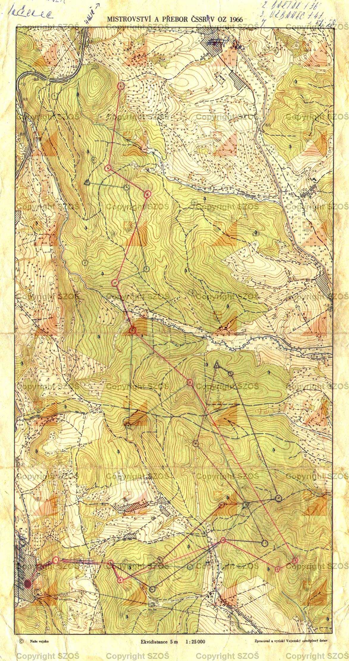
Mistrovství a přebor ČSSR v OZ 1966
|
|
611
|
||||||||||||||||||||||||||||
|
|
||||||||||||||||||||||||||||
Mistrovství a přebor ČSSR v OZ 1966
611
|
||||||||||||||||||||||||||||


|
Maps for orienteering |

|
Maps for MTB orienteering |

|
Maps for ski orienteering |

|
Big scaled maps (school, park, ...) |

|
Mapped |

|
Drawn |

|
Mapped & Drawn |